Beneath Chicago: Learning to Read the Pedway
Created by Brando Oxley · 22 Aug 2026
Key Vocabulary
a connected system of routes designed for people walking
The Pedway forms a pedestrian network across downtown.
a large indoor passage or open area used by people moving through a building or station
The concourse connects the station with nearby buildings.
kept at a managed indoor temperature
A climate-controlled route is comfortable in winter.
the process of understanding where to go in a place
Clear signs improve wayfinding in a complex building.
something made from many different pieces joined together
The Pedway grew as a patchwork of separate connections.
Article
Chicago has a second pedestrian network threaded through its downtown. The Pedway uses underground passages, building interiors and overhead links to connect destinations across the central business district. City data describes a system covering more than 40 blocks and roughly five miles. [1]
The network began in 1951 with links between downtown subway stations and grew gradually as different buildings and developments added connections. The Chicago Architecture Center says it now reaches more than 50 buildings. [2]
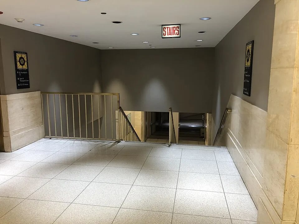
That history explains why the Pedway can feel less like one planned corridor and more like a patchwork. A polished concourse may lead into a plain hallway, then a stairway, then the lower level of another building.
The obvious advantage is shelter. Many sections offer a climate-controlled route when Chicago is bitterly cold, humid, rainy or snowy. The system also connects with public transit, shops, offices and government buildings. [2][3]
The difficult part is wayfinding. Entrances may be inside buildings or near transit stations, and different sections can have different opening hours. Even experienced visitors sometimes need signs or maps to understand where the route continues. [3]
This creates a strange urban skill: learning to read an indoor city. Instead of watching street names and traffic lights, a Pedway user notices elevator banks, basement corridors, small symbols and doors that might look private but lead onward.
The Pedway is useful precisely because it is imperfectly visible. Chicago continues normally above ground while thousands of daily trips can pass through a quieter layer below and between the buildings.
Discussion Questions
- What features make wayfinding easy or difficult in a large transport system?
- Why might a patchwork pedestrian network be harder to understand than a single planned route?
- How valuable is a climate-controlled walking route in a city with extreme weather?
- What should a good station concourse provide besides a path from one place to another?
- Would your city benefit from a Pedway-style system? Where should it connect?
References
Finished reading? Mark this lesson as done.