The Accidental Interior City: Chicago's Pedway
Created by Brando Oxley · 22 Aug 2026
Key Vocabulary
an indoor environment that functions as part of the wider city
The Pedway operates as a distributed urban interior.
developing through many small additions over time
The system's incremental growth explains its uneven design.
involving both government or public functions and privately controlled spaces
The Pedway has a complicated public-private character.
the quality of being easy to understand or navigate
Better signs could improve the network's legibility.
the physical systems and facilities that allow a city or society to function
The Pedway is pedestrian infrastructure spread across many buildings.
Article
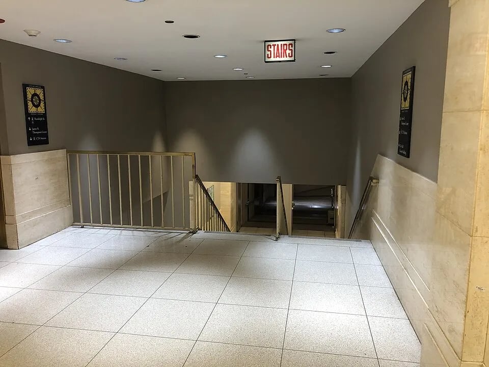
Chicago's Pedway is easiest to misunderstand when it is described as a tunnel system. It is better understood as an urban interior: a dispersed network of underground passages, overhead connections, transit spaces and privately owned building corridors that collectively allow pedestrians to move through downtown without remaining at street level. [1][2]
The system's most distinctive quality is its incremental growth. The Chicago Architecture Center traces its beginning to 1951, when early links connected downtown subway stations. Later extensions arrived through separate public and private developments rather than through the execution of one coherent master plan. [2]
That incremental history produced both usefulness and inconsistency. A traveler may pass from a municipal corridor into a commercial concourse, cross beneath a street, enter a station and then emerge inside another building. Materials, lighting, opening hours and accessibility can change within a short walk.
The resulting public-private character complicates the usual meaning of infrastructure. The Pedway performs a civic function by connecting transit and buildings, yet portions of the route depend on spaces controlled by individual property owners. Its continuity is therefore physical, legal and operational at the same time.
Legibility is another persistent issue. A conventional sidewalk announces itself through streets, intersections and addresses. The Pedway asks users to interpret smaller clues: signs, doors, escalators and transitions between spaces that were not necessarily designed as parts of a single visual system. [3]
Yet the network's awkwardness is also evidence of urban adaptation. City data describes more than 40 connected downtown blocks over roughly five miles, while the Architecture Center counts more than 50 buildings. [1][2] Those connections accumulated because indoor movement kept proving useful.
Chicago's harsh weather gives the Pedway an obvious practical role, but weather protection is only part of its appeal. The network creates alternative routes through familiar districts and connects transport, work, shopping and civic destinations in ways that the street grid does not fully reveal.
The Pedway is therefore infrastructure without the visual confidence of a highway or subway map. It grew piece by piece, and its complexity records decades of negotiations between buildings, transit and pedestrian movement. Learning it is almost like learning a second version of downtown.
Discussion Questions
- How does incremental development affect the coherence of major urban systems?
- What responsibilities should private building owners have when their spaces form part of public-private infrastructure?
- Why is legibility especially important in indoor pedestrian environments?
- Can an urban interior provide the same sense of public space as a street or square?
- What does the Pedway reveal about how cities adapt when no single master plan controls development?
References
Finished reading? Mark this lesson as done.